Five Hidden Settings In Vehicle Navigation You Should Use
13 min read Discover five overlooked settings in your vehicle navigation system that can improve driving efficiency, safety, and convenience. (0 Reviews)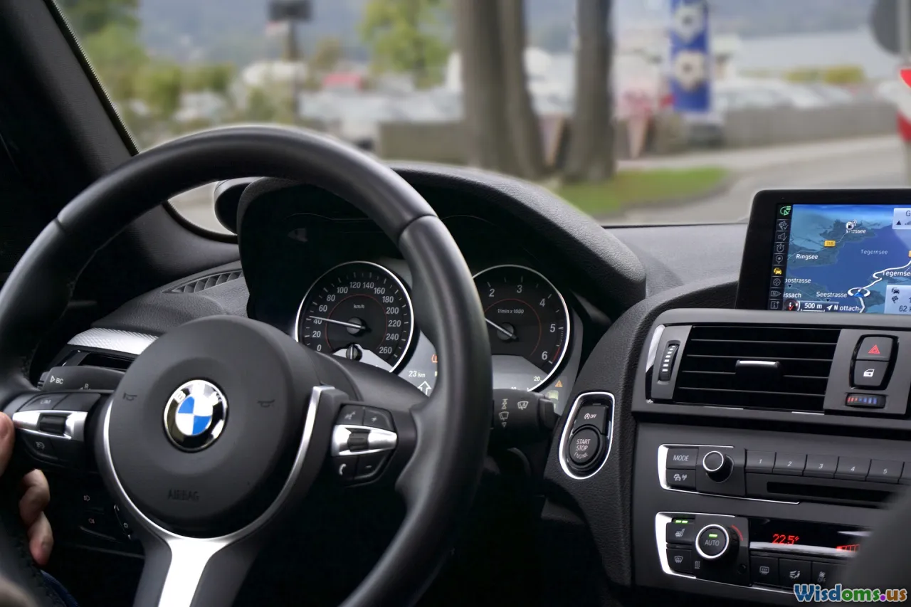
Five Hidden Settings in Vehicle Navigation You Should Use
Navigating through unfamiliar roads or bustling city streets is easier than ever, thanks to the smart navigation systems found in modern vehicles and mobile devices. However, while most drivers rely on standard features—like simple route guidance and live traffic updates—many valuable, lesser-known settings remain overlooked. These hidden functions can elevate driving safety, enhance comfort, and save time if you know where to look.
This article explores five potent, underused navigation settings, details how to access them on popular platforms (such as built-in car infotainment—as well as Google Maps and Apple Maps), and offers practical examples for smarter—and safer—driving.
Customize Route Preferences for Personalized Guidance

Did you know that major navigation platforms can optimize your route not just for speed, but also for your unique preferences? Most systems default to the “fastest route,” but this sometimes leads through toll roads, ferries, or congested highways. Surfacing the settings panel can reveal options tailored to your driving style and needs:
Common route customization options:
- Avoid toll roads: Essential for budget-conscious drivers or those using company vehicles with expense policies. For instance, Google Maps allows you to toggle 'Avoid tolls' with a simple swipe before starting a trip.
- Avoid highways: Useful for those who prefer a more scenic or less hectic drive, or who have restrictions on highway driving (such as learners or certain commercial vehicles).
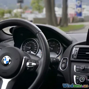
- Prefer eco routes: Some car navigation systems—like Ford’s SYNC or BMW’s iDrive—include an 'Eco Route' option that plots a path to minimize fuel consumption. Toyota’s Entune system even factors battery usage for hybrid or EV models.
- Favor shortest vs. fastest: This can dramatically alter the chosen route. For instance, Apple Maps lets you preview alternate routes visually before departing, balancing travel time and distance against traffic and your preferences.
How to access:
- In an Audi MMI or Mercedes COMAND system, route options are within the “Navigation” settings under 'Route Criteria.'
- In Google Maps/Apple Maps, swipe up on the route overview to reveal toggles for highways, ferries, and tolls before you tap “Start.”
Customizing route settings saves money, avoids stress, and transforms every trip’s experience. Try various combinations and watch as new, sometimes more enjoyable itineraries appear—ones that better fit your daily needs or adventurous spirit.
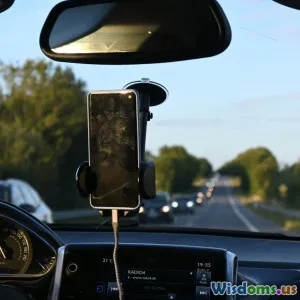
Silence Interruptions with Advanced Do Not Disturb Modes

We live in an always-on world, and navigation apps often mirror that by pushing a steady stream of notifications—from speed camera alerts to promotional prompts and phone messages. Many drivers don’t realize that their vehicle’s navigation system (and connected mobile apps) often possesses an 'advanced Do Not Disturb' or 'Driving Focus' mode.
Benefits:
- Reduces distractions: Critical for safety, particularly with newer laws enforcing cellphone usage restrictions in many countries. According to an AAA Foundation study, distracted driving contributes to 1 in 5 car crashes in the U.S.
- Tailors nonessential alerts: Car navigation can suppress social notifications but still inform you of vital navigation alerts or emergency calls.
- Configurable: Both Apple and Android systems let you handpick which contacts or app alerts may break through when you’re on the move.
Example in practice:
- Apple’s Driving Focus: Automatically silences incoming texts and notifications when your iPhone connects to CarPlay. Critical contacts can still reach you if needed.
- Android Auto: With its built-in Do Not Disturb (DND), you can allow only driving essential alerts and block all app chatter.
- Vehicle infotainment: Some systems, like Tesla and many BMWs, now incorporate notification management directly, separate from your phone.
How-To: Check your phone’s settings under “Do Not Disturb” or “Driving Focus.” For in-car options, look under 'Notification,' 'Sound,' or ‘Driver Assistance’ menus. Set preferences before driving.
Proactively using these settings not only supports safer driving but also promotes a more peaceful journey, perfect for catching up on thought—or music.
Enable Automatic Alternate Route Suggestions During Traffic Surges

Most drivers trust that their navigation device will reroute them around bad traffic—but this feature is often limited by default or requires manual toggling. Digging deeper into your settings can unlock automatic alternate route alerts that present timely detours based on real-time data, not just expected delays.
Why activate this feature?
- Time savings: Proactive detours can save up to 30% of trip time during heavy congestion, according to a 2023 INRIX Global Traffic Scorecard study.
- Less manual interaction: Avoid fumbling with your screen to find better routes while stopped at traffic lights.
- Dynamic route adaptivity: Some advanced apps—like Waze—can continually suggest better routes mid-drive, while car OEM systems (e.g., Honda’s NAVI or Toyota’s Dynamic Navigation) require features to be enabled to work automatically.
How to enable:
- Waze: Go to Settings > Navigation > “Allow auto rerouting.”
- Google Maps: Settings > Navigation Settings > enable traffic-based rerouting notifications.
- Built-in systems: Cadillac’s CUE or Subaru Starlink systems often bury these toggles under “Route Preferences” or “Traffic Options” screens.
Tip: Ensure your map data is always updated; some systems only deliver traffic reroutes with the latest software/data maps.
Activating this setting lets your navigation system operate as a true copilot, reducing stress and helping you adapt to the ever-changing rhythms of city and suburban traffic.
Set Up Custom Safe Zones for Family and Fleet Monitoring

Many navigation systems, especially those tied to a mobile device or cloud account, offer geofencing capabilities—called Safe Zones, Family Areas, or Geo-Alerts. This is incredibly powerful both for families and small business fleet managers.
What they do:
- Creates virtual boundaries: Set up zones around schools, workplaces, or neighborhoods.
- Delivers instant alerts: When the vehicle (or connected phone) enters or exits zones, notifications are sent to your device, a parent/guardian, or a dispatch dashboard.
Examples:
- Parents: Know when your child has arrived at school, left a friend’s house, or is unexpectedly off-route.
- Fleet Managers: Detect when a company van leaves its authorized territory, helping protect assets or respond faster in emergencies.
Popular platforms providing this feature:
- FordPass (for Ford owners): Allows for defining Family Zones and delivers alerts for entering/exiting boundaries.
- OnStar (GM vehicles): Geofencing setup via the mobile app with notification options.
- Google Maps family accounts: 'Location Sharing' under your profile lets guardians receive updates whenever a group member reaches tagged addresses.
How-To: In your provider’s app, look for an ‘Alerts,’ ‘Safety & Security,’ or 'Family Monitor' section. Create zones as desired. Make sure to test the alert system for reliability.
Utilizing safe zones transforms vehicle navigation into a safety tool—offering peace of mind for families and accountability for small businesses.
Integrate Real-Time Hazard, Weather, and Police Alerts

While basic navigation points out blocked roads or slow traffic, you can often enable settings to surface live hazard and incident warnings directly on your route. These can include weather disruptions, crashes, road debris, or even active police speed traps (where legal).
Advantages:
- Improved risk awareness: Continuous hazard updates allow for better decision-making—vital for drivers on long journeys or unfamiliar routes.
- Community-powered accuracy: Many platforms crowdsource these alerts. For instance, Waze relies on real-time input from millions of drivers, while Garmin Drive’s Live Traffic combines road agency data with driver-submitted reports.
**Types of alerts: **
- Weather: Black ice, flash floods, or heavy fog—critical especially in mountainous or unpredictable regions; Google Maps and some OEM systems (such as Subaru’s) now deliver rain and snow alerts along your route.
- Accidents / Debris: Not only tells you about delays, but which lane is blocked or whether a tow is on the scene.
- Police / Speed Checks: Provided anonymously in apps like Waze and TomTom; in regions where permitted by law.
How to activate:
- Waze: Turn on “Hazard alerts” under Alerts in the app settings.
- Google Maps: Enable 'Navigation Alerts' and choose which incident types to display while driving.
- Garmin and in-car systems: Look for menus called “Driver Alerts,” “Incident Notifications,” or “Hazard Warnings.”
Using these settings fosters a proactive stance—empowering you to reroute, adjust speed, or prepare for incidents before they become problematic. Real-world feedback from users highlights this advantage: In winter 2022, drivers in the Midwest U.S. avoided multiple highway closures by enabling real-time hazard notifications.
Savvy drivers know that the value of a navigation system comes not from simply following an arrow, but from leveraging every available feature. Customizing your route criteria, filtering distractions, setting up advanced rerouting, safeguarding those you care about, and enabling incident alerts can transform everyday commuting and road trips alike. The next time you plan a drive, take a few moments to explore these hidden settings—you might discover a much smoother journey, and perhaps even learn something about your own driving style along the way.
Rate the Post
User Reviews


Popular Posts