How Drones Revolutionize CBRN Threat Detection Strategies
13 min read Explore how drones are transforming CBRN threat detection with advanced sensors and real-time data to enhance public safety and emergency response. (0 Reviews)
How Drones Revolutionize CBRN Threat Detection Strategies
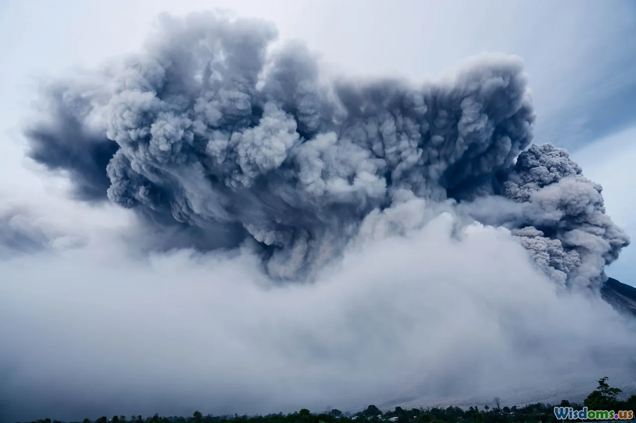
Chemical, biological, radiological, and nuclear (CBRN) threats rank among the gravest challenges facing emergency responders, armed forces, and security organizations worldwide. These hazards—deliberate or accidental—can cause widespread harm, disrupt communities, and require intricate, rapid response. As emerging technologies reshape public safety strategies, drones stand at the forefront, transforming how experts detect, analyze, and mitigate CBRN risks.
The Changing CBRN Landscape and the Role of Technology

For decades, detecting CBRN agents demanded direct human exposure. Responders often donned cumbersome protective suits and relied on handheld sensors, facing uncertainty and personal danger. As CBRN incidents—from industrial leaks to deliberate attacks—grow more sophisticated and difficult to contain, traditional techniques struggle to offer the speed and precision required.
Breakthroughs in robotics, sensors, and communication networks now enable a fresh approach. Unmanned aerial vehicles (UAVs), commonly known as drones, offer a pivotal advantage: the ability to traverse hazard zones and relay critical data without risking human lives. This aerial perspective and technological adaptability have positioned drones as the linchpin for 21st-century CBRN detection and response.
Case in Point: The 2011 Fukushima Disaster
After the 2011 earthquake and tsunami, Fukushima Daiichi nuclear plant experienced a catastrophic meltdown. Assessing radioactive spread proved perilous for ground teams. Japanese authorities turned to drones, which mapped radiation hotspots, monitored containment efforts, and guided evacuations. This response highlighted not only the utility but also the necessity of unmanned solutions in high-risk detection missions.
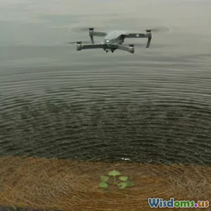
How Drones Enhance Hazard Detection, Mapping, and Analysis
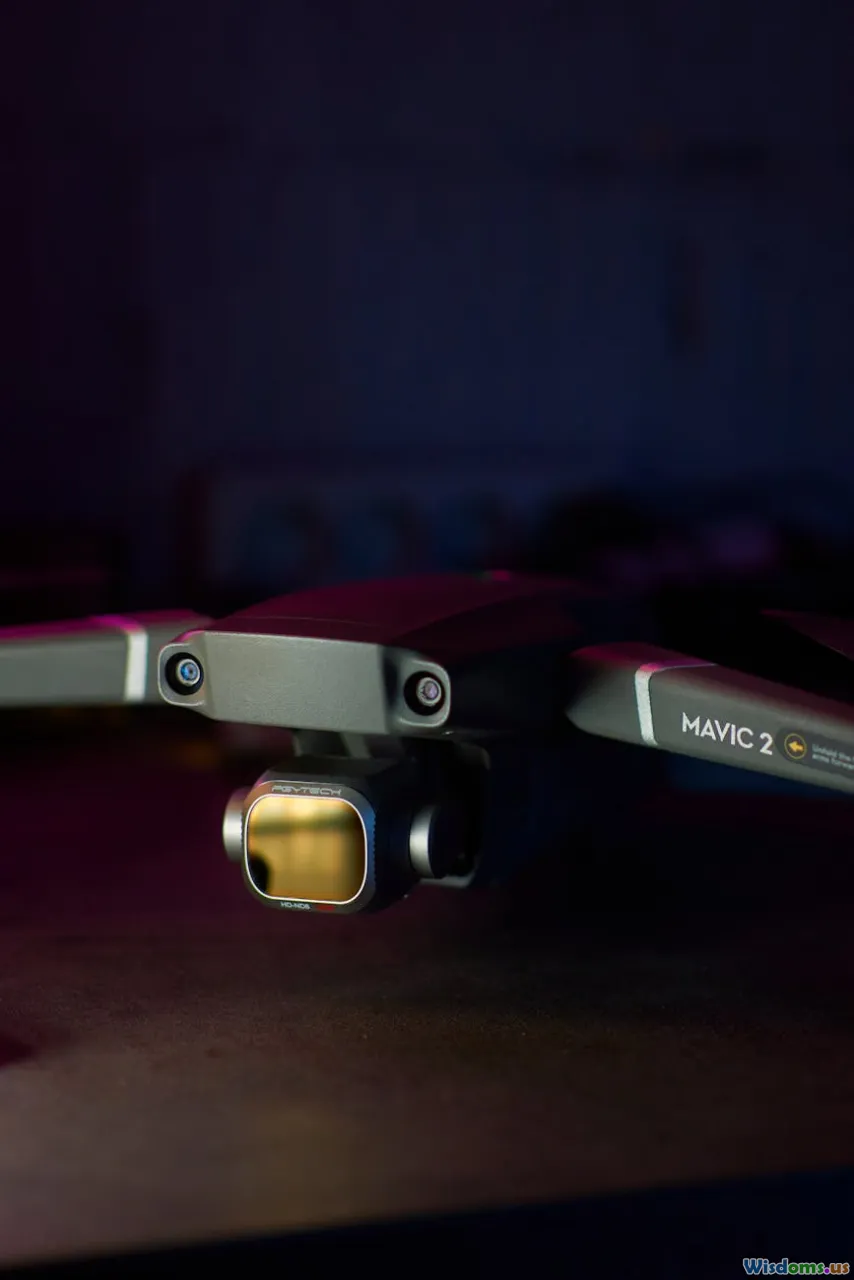
The foremost advantage of drones in CBRN contexts stems from their sensor payloads. Advances in miniaturization now enable UAVs to carry technologies previously limited to ground vehicles or static installations:
- Spectrometers and Detectors: Drones equipped with gamma and neutron detectors, mass spectrometers, and chemical sensors can identify nuclear materials, toxic gases, or biological agents in real time.
- Thermal and Multispectral Cameras: These tools help visualize otherwise invisible chemical plumes or heat signatures associated with certain substances or reactions.
Mapping & Data Integration
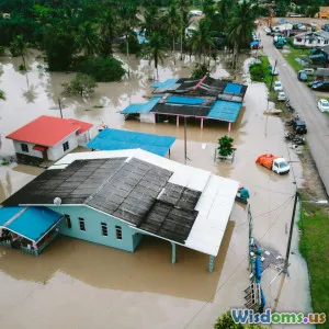
Modern drones can survey vast or inaccessible terrain rapidly, building comprehensive 2D or 3D maps. Integrated with GIS (Geographic Information Systems), these maps visualize contamination spread and guides for safe navigation, evacuation, or remediation.
Example: During chemical train derailments, drones have been deployed to chart toxic plume dispersion and check for secondary explosions without endangering fire crews. Their imagery and analytic overlays enable command centers to make fast, informed decisions.
Remote Sensing in Real-Time: Speed and Safety Advantages
Time is of the essence in any CBRN event. Immediate, informed assessment prevents wider exposure and saves lives. Drones excel in this arena:
- Rapid Deployment: Small UAVs can launch from almost any location, reach hazard zones within minutes, and transmit live feeds, removing the lag inherent in setting up conventional monitoring stations.
- Sample Collection: Specialized drones can dip, scoop, or vacuum environmental samples—air, soil, water—and retrieve them for lab analysis, all with minimal risk.
- Persistent Surveillance: Hovering at designated waypoints or following pre-programmed routes, drones monitor changes in threat levels or detect secondary dispersions.
Safer Operations
Traditional detection required responders in hazardous gear to physically approach suspect sites. In contrast, drones offer standoff distance—enabling observation, detection, and even sample delivery without risking responders. In radiological scenarios, this remote ability significantly reduces cumulative dose exposure, a vital safety benchmark.
Diversity of Drone Platforms and Fit-for-Purpose Payloads
One of the major strengths of drone adoption in CBRN work lies in the saturation of drone options, each tailored for mission needs:
Heavy-Lift Drones
Industrial UAVs can transport heavier, more sensitive sensor arrays, such as large radiological scanners or atmospheric sampling pods. These are invaluable for wide-area contamination mapping and can retain flight times exceeding 45 minutes.
Micro and Nano UAVs
For indoor or close-quarters inspections—for example, vent shafts inside a nuclear facility—small drones maneuver through constraints, delivering situational awareness in places unsafe or inaccessible for responders or robots.
Fixed-Wing vs. Multirotor
- Fixed-wing drones: Longer endurance and greater area coverage, ideal for initial surveys or plume tracking over kilometers.
- Multirotor drones: Superior hovering and vertical takeoff/landing capabilities, providing concentrated monitoring or on-the-spot sample collection.
Example: The US military’s use of custom-built quadcopters during simulated CBRN exercises has demonstrated effective radiological mapping of urban centers, pinpointing shelters and clean escape routes.
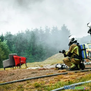
Overcoming Traditional Limitations and Human Risk

Standard detection protocols expose personnel to several dangers:
- Direct contact with toxins, especially for first-in teams
- Heat stress and mobility impairment (due to PPE)
- Communication blackouts (thick suits may block signals)
Drones act as a crucial risk mitigation tool:
- Risk avoidance: Assessments start from overhead, ensuring responders only enter environments that have been preliminarily mapped and confirmed as safe as possible.
- Reduced false positives/negatives: Advanced analysis and repeat surveys from multiple angles or under changing conditions help prevent misclassification of contaminants.
- Fewer required personnel: Drones minimize the need for large on-site teams, preserving resources and reducing exposure moments.
Integration with Networked Systems and Next-Level Intelligence

The marriage of drone tech with advanced analytics, cloud computing, and AI unlocks new frontiers in CBRN management:
- Sensor fusion: Drones stream data not only from onboard detectors but also environmental sensors, wearables, and surveillance cameras, producing an integrated threat picture.
- Machine learning: AI models, trained on thousands of incident scenarios, parse drone-collected data for abnormal readings, locating unknown toxins or anticipating their movement.
- Communication relay: During breakdowns of terrestrial networks, drones can serve as mesh nodes, restoring or boosting signals so responders and command posts remain in constant contact.
Example: Smart Response Systems
In Germany's "SmartResponder" initiative, AI-driven drones automatically track wind shifts and select optimal flight paths for contaminate tracking—decisions previously made by human operators in real time.
Ensuring Regulatory Compliance and Privacy in Aerial Surveillance

CBRN drones often operate above sensitive locations—industrial plants, urban centers, or critical infrastructure. Regulatory frameworks are key for mitigating privacy, safety, and airspace issues:
- Legal clearances: Many jurisdictions require prior flight permissions, especially above civilian populations.
- Data security: Drone streams and imagery must be safeguarded against tampering or leaks, ensuring the confidentiality of threat assessments.
- Operator training: Certification for CBRN drone missions assures that only highly skilled, security-vetted pilots manage critical flights.
Tip: Agencies planning drone-based CBRN operations should foster partnerships with local aviation authorities from the planning phase onward, smoothing compliance and expediting emergency clearances.
Real-World Successes and Ongoing Challenges
Success Stories
- Hurricane Harvey (USA, 2017): Authorities used drones equipped with gas sensors to monitor chemical plants in flood zones, swiftly detecting and flagging hazardous releases.
- COVID-19 Response: Law enforcement in China and Europe leveraged UAVs not only for crowd monitoring but also for dispersal measurements of virus-laden aerosols near hospitals and quarantine zones.
Persistent Hurdles
However, the journey isn’t seamless. Challenges include:
- Battery endurance vs. payload: Heavier detectors reduce flight times; rapid evolution in power technologies continues to be a critical research area.
- Adverse weather: Strong winds, electrical storms, and precipitation can inhibit effective deployment, especially in early minutes of a CBRN crisis.
- Signal interference and cyber vulnerabilities: CBRN emergencies can coincide with electromagnetic or cyber attacks that target drone navigation or communication links.
The Path Ahead: Investing in Future-Ready Solutions

Meeting the complex demands of CBRN risk in the 21st century means continued investment. Leaders in security, emergency management, and technology are pursuing several frontiers:
- Miniaturized, multi-sensor payloads: Efforts to compress chemical, biological, radiological, and nuclear sensors onto a single, easily swappable module are gaining speed, enabling single-drone, multi-threat surveillance.
- Autonomous waypoint and swarm operations: Algorithm-driven swarms could soon cover entire city blocks or industrial complexes, multiplying area surveyed while minimizing operator workload.
- Hardened platforms: Dust-proof, radiation-shielded, or decontamination-ready drones will allow faster redeployment during prolonged or recurring incidents.
- Cross-border cooperation: As CBRN threats disregard national boundaries, international drills and data-sharing platforms involving drones are being instituted by NATO, the EU, and their partners.
Drones have already shifted the balance in CBRN threat detection from a slow, dangerous process toward rapid, intelligence-driven, and far safer operations. When every second—and every life—counts, these aerial allies are reshaping the art and science of crisis response.
Rate the Post
User Reviews
Other posts in Chemical, Biological, Radiological, and Nuclear Defense (CBRN)


Popular Posts