How Real Time Traffic Data Revolutionizes Urban Commutes
15 min read Explore how real-time traffic data is transforming urban commuting through smarter routing, reduced congestion, and improved city mobility. (0 Reviews)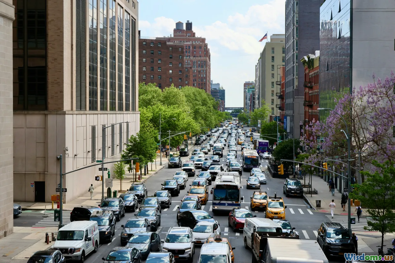
How Real Time Traffic Data Revolutionizes Urban Commutes
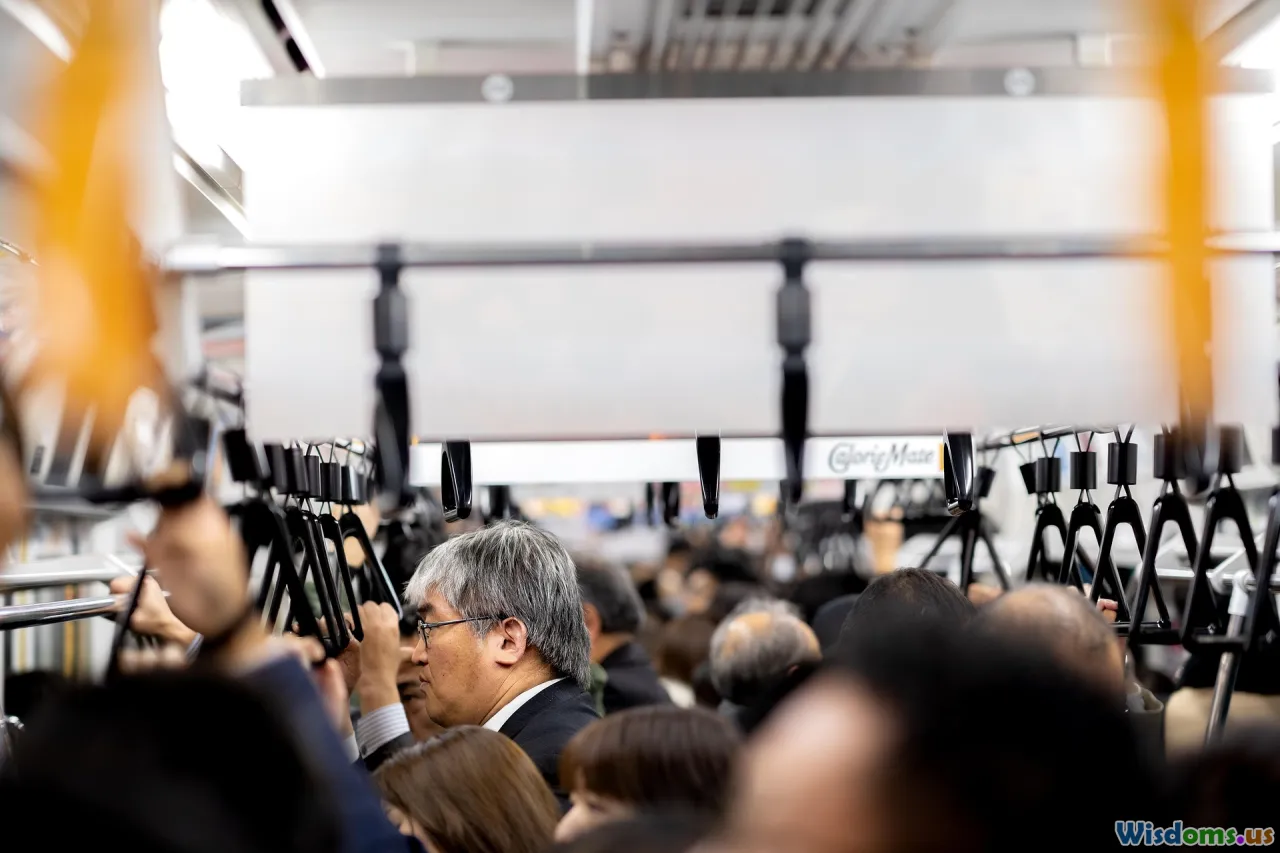
The hustle and bustle of city life are often defined by one thing: traffic. For millions, it means lost hours, unpredictable arrivals, and mounting stress. Yet, a revolution is underway. Thanks to technological advances, real time traffic data is transforming our daily commutes, making them smarter, safer, and surprisingly more efficient. This shift isn't just changing how we travel—it's altering the urban landscape itself.
The Science Behind Real Time Traffic Data
What counts as real time traffic data? At its core, it refers to the immediate collection and dissemination of information about the flow, density, and speed of vehicles on city streets and highways. Numerous sources contribute to this system:
- Roadside Sensors and Cameras: Devices embedded within roads and mounted on lampposts track vehicle speeds and count cars, providing a constant stream of information.
- GPS Data from Vehicles: Modern vehicles and commercial fleets continuously share anonymous location and movement data.
- Mobile Navigation Apps: Apps like Google Maps and Waze crowdsource information from millions of users, identifying congestion before it even hits authorities' radars.
- IoT & Urban Infrastructure: Cities are outfitting their streets with smart intersections and adaptive traffic lights, all feeding data into centralized management systems.
The collaboration of these sources produces a holistic, real time urban transportation map that evolves second by second.
From Highway to Hand: How Data Reaches Commuters
Sophisticated as the data collection may be, its true utility lies in reaching commuters precisely when and where they need it. This is achieved primarily by integrating data into widely used platforms and in-car systems:
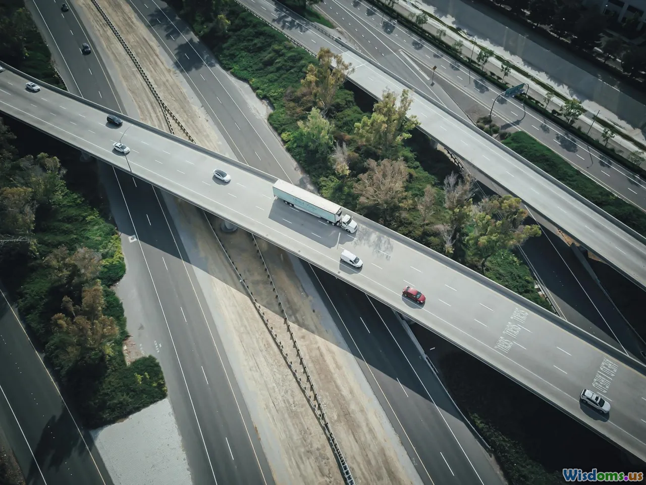
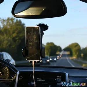
- Navigation Apps: The likes of Apple Maps, Google Maps, and Waze now offer more than directions—they push real time rerouting as soon as a jam forms ahead. For example, a reroute suggestion based on just one stalled truck on a critical bridge can save commuters up to thirty minutes during rush hour.
- Public Transit Alerts: Riders benefit as bus and train schedules get updated in response to disruptions. In London, Transport for London (TfL) uses real time data to inform passengers about delays, enabling smarter decisions and reducing waiting times by up to 15%.
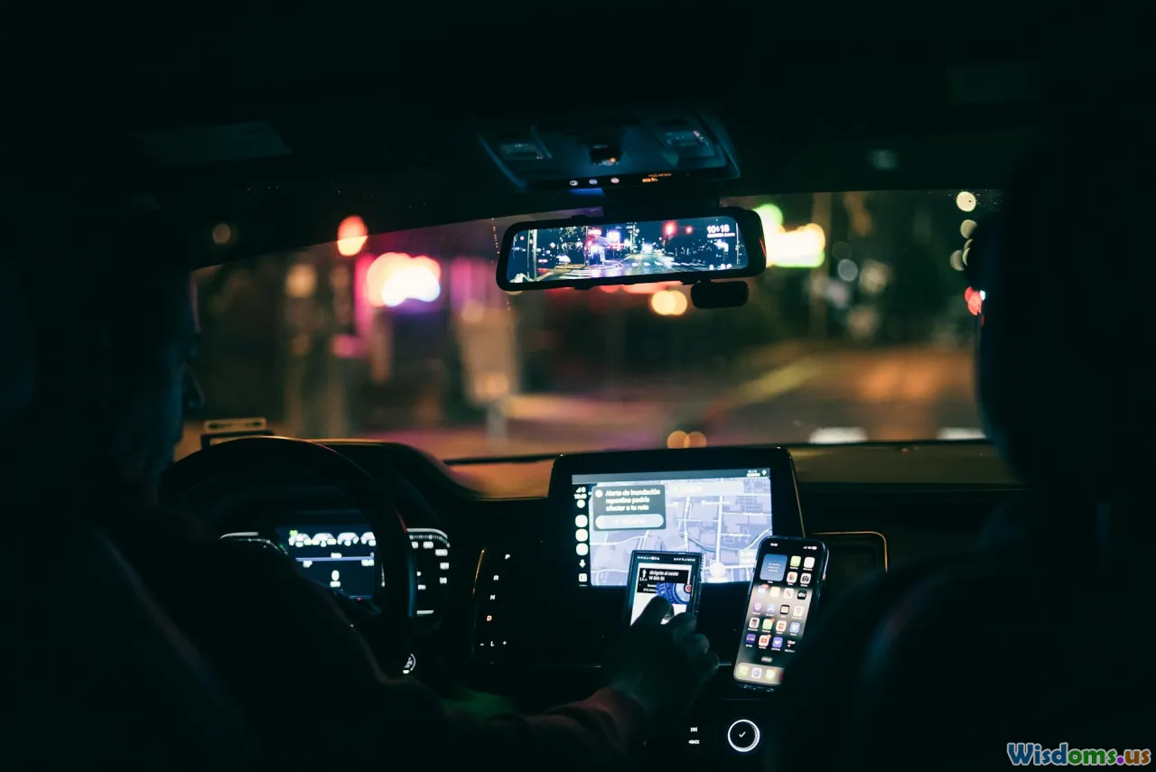
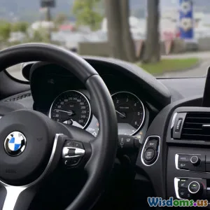
- Connected Cars: Newer vehicle models feature dashboard screens that integrate live traffic feeds, displaying alternative routes or hazards directly to drivers without the need to check their phones, improving safety.
Intelligent Traffic Management: When Cities Get Smart
City planners and transportation agencies harness real time data for far more than just informing drivers. With intelligent traffic management platforms, they take proactive control of flows across urban networks:
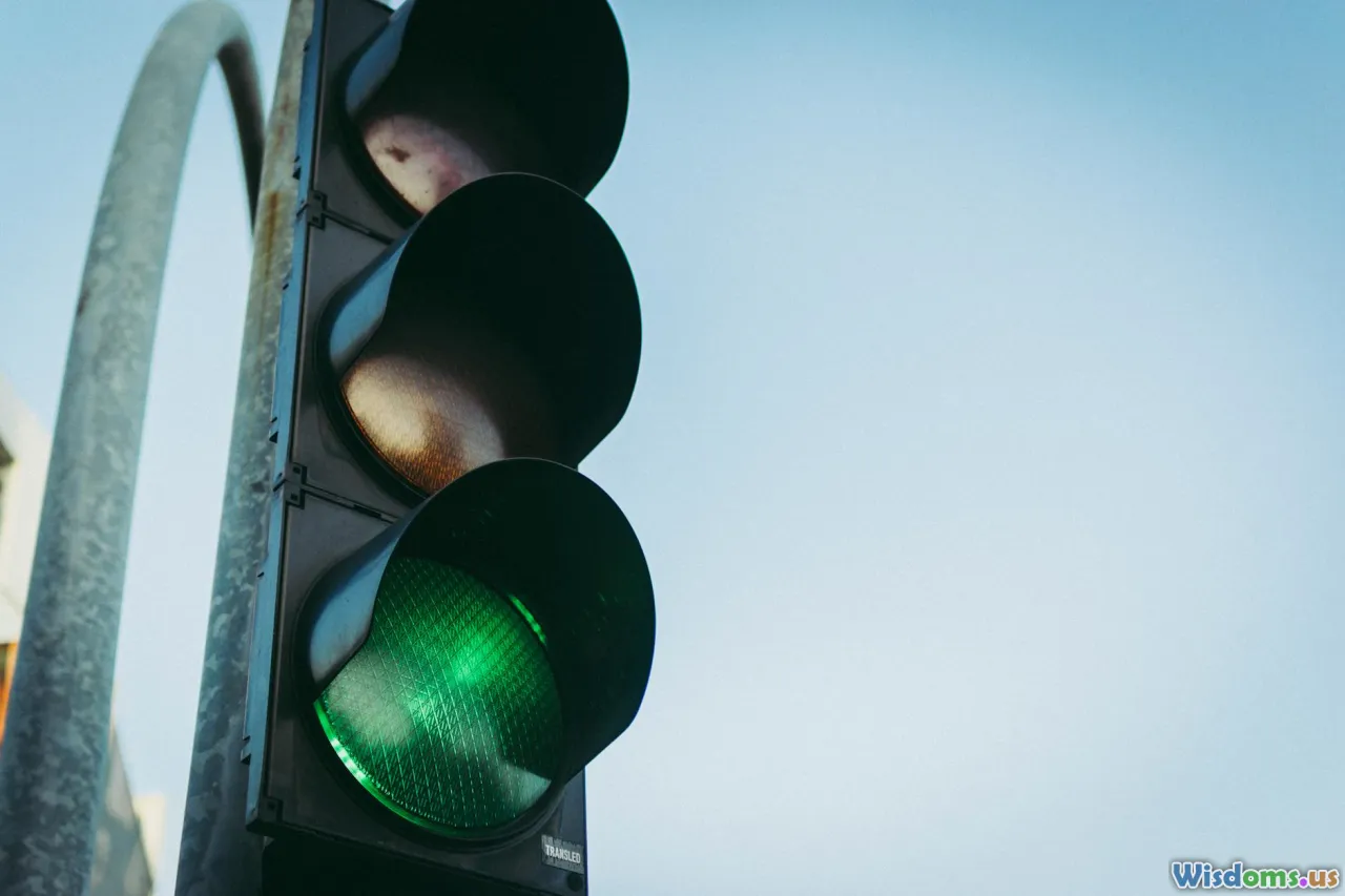
- Adaptive Traffic Signal Control: Cities such as Los Angeles and Singapore have installed sensors and cameras at traffic lights. The control systems analyze minute-to-minute vehicle volumes and dynamically change signal timings, slashing red-light waits and maximizing throughput.
- Emergency Vehicle Prioritization: Traffic lights adjust to give green corridors to ambulances and fire engines, reducing emergency response times by significant margins. In Stockholm, these systems have helped cut response times by close to 20% during peak hours.
- Incident Response: When an accident occurs, real time feeds allow rapid dispatch of tow trucks, police, and paramedics, minimizing disruption.
- Data-Driven Urban Planning: Long-term planning decisions, such as where to expand roads, add bike lanes, or implement tolls, are game-changers when based on actual movement patterns instead of approximations.
The Commuter’s Edge: Saving Time, Money, and Stress
Real time traffic data gives urban travelers a major edge. Here’s how:
- Time Savings: By intricately predicting congestion points and instantly redirecting commutes, drivers in metropolitan areas are saving dozens of minutes every day. A 2019 study by INRIX cited that U.S. drivers in the top 10 cities saved an average of 20 minutes per weekday thanks to real time rerouting.
- Reduced Fuel Costs: Engines idle less, and routes become more direct, trimming unnecessary mileage. For example, commuters using data-aided navigation burned 8% less fuel in Madrid during peak traffic months.
- Stress Reduction: Not only does information reduce uncertainty, but it also builds confidence. Expecting delays—and seeing real time updates about how long you'll be sitting—removes ambiguity, which psychology shows lowers anxiety levels.
- Safety Improvements: Drivers receive up-to-the-minute hazard alerts, helping them avoid accidents, debris, or weather-affected routes.
Real Time Data and the Rise of Sustainable Urban Mobility
Environmental impact is at the forefront of urban policy, and real time data is central to a greener commute:
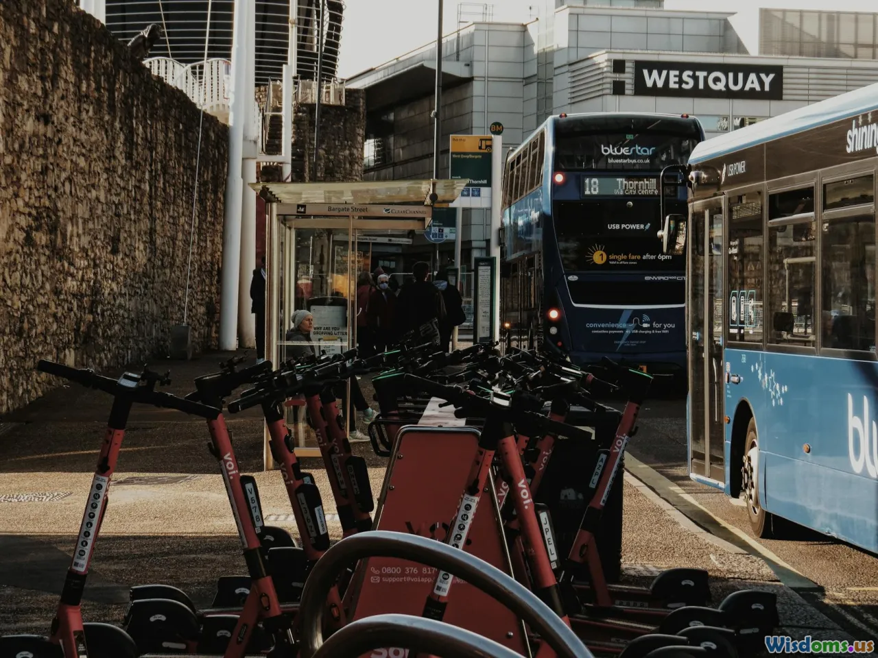
- Public Transit Optimization: When buses know where traffic snarls occur, they can reroute or adjust stop frequency. In Seoul, such flexible routing decreased average commute times for passengers by 12%.
- Bike and e-Scooter Sharing: Operators use live data to reposition bikes and scooters where demand peaks, reducing wait times and stagnant inventory.
- Congestion Zone Pricing: London’s congestion charge is dynamically tuned to real time traffic, nudging drivers out of the city center when densities become unsustainable.
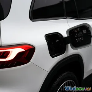
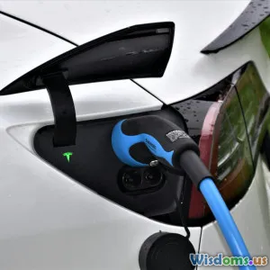
- EV Charging Locator Services: Electric vehicle users access live dashboards showing available, unoccupied charging kiosks. No more circling in vain at busy service stations—a common frustration just a few years ago.
Overcoming Urban Challenges: Integrating the Human Factor
Even with technology’s help, urban commuting remains a fundamentally human experience. Behavioral patterns, local habits, and resistance to change all come into play:
- User Participation in Data Collection: Many real time traffic platforms depend on active engagement. When drivers mark hazards or accidents in navigation apps, the entire community benefits. Trust and habitual contribution build harder than new infrastructural changes.
- Adapting to Real Time Guidance: Some drivers initially distrust redirected routes or message delays—after all, the shortest path isn’t always the fastest. Education campaigns are vital for changing perceptions. For example, after San Francisco's "Get on Board" campaign, app-based rerouting adoption rose by 23%, lightening congestion on notorious choke points.
- Accessibility and Equity: Not everyone owns a smartphone or a connected vehicle. Programs in Toronto and Berlin are piloting public kiosks and radio alerts to extend real time data benefits to a wider segment of commuters, ensuring that innovations don't widen inequality.
Privacy, Security, and Ethical Considerations

The rapid expansion of real time traffic data raises important ethical and legal questions:
- Personal Privacy: While most vehicle and phone-sourced data is anonymized, persistent location tracking poses risks if mishandled. Regulations like Europe’s GDPR mandate transparency and user control over data sharing.
- Cybersecurity: With city traffic management and critical infrastructure connected online, the threat of hacking or data breaches grows. In 2019, Israeli cybersecurity firm GuardKnox revealed how simple vulnerabilities in car-to-cloud connections could open doors for attackers—a concern that spurred auto-industry cybersecurity protocols worldwide.
- Data Ownership and Commercialization: Who profits from commuter data? There's an ongoing debate whether this information should fuel public good, private profit, or a careful balancing of both.
The Road Ahead: Emerging Trends in Traffic Data

Looking forward, real time traffic data is poised to enable even greater urban transformations:
- Autonomous Vehicles: Self-driving cars require constant, hyper-local data not just about traffic, but pedestrians, hazards, weather, and more. Cities like Phoenix and Shenzhen are testing fleets that update route decisions every millisecond based on such feeds.
- AI-Driven Predictions: Machine learning platforms are analyzing historic and live data together to anticipate jams before they even form, allowing pre-emptive route adjustments. Tokyo’s AI-powered traffic system recently predicted noon-time congestion half an hour before it materialized, smoothing flows with early signal modifications.
- 5G and Edge Computing: Next-gen wireless connectivity means richer, faster traffic data exchanges and ultra-low latency—crucial for birds’-eye views of sprawling urban grids and vehicle-to-infrastructure collaboration.
- Integrated Mobility Superapps: Urbanites could soon use single platforms to compare all modes—rideshare, transit, cycling—based on live traffic, booking end-to-end journeys in one go.
Actionable Tips for Commuters: Getting the Most from Real Time Data

You don’t need to be a technophile to ride the wave of real time traffic data. With a few practical steps, everyone can travel smarter:
- Update Navigation Apps Regularly: Make sure your apps are current; updates often include improved data feeds and rerouting algorithms.
- Enable Alerts and Notifications: Opt in for push alerts about accidents, weather, or route changes, especially if you have a habitual commute.
- Take Alternative Modes: If data shows heavy congestion, consider public transit or cycling for the day. Some apps now provide real time multimodal options.
- Contribute Data: Report hazards or slowdowns on your route to help fellow commuters and improve system accuracy.
- Plan Ahead but Stay Flexible: Check traffic conditions before leaving, but keep an open mind toward new suggestions.
The dawn of real time traffic data is rewriting the rulebook for urban mobility, upgrading commutes from a tangle of frustration to an exercise in informed, civil navigation. As data continues to flow and technology deepens its seamless integration with our streets, the journeys that define urban life are set to be smoother, smarter, and more sustainable for everyone. The next time your app reroutes a drive or a bus arrival updates in your palm, you'll know: you’re not just getting from A to B—you’re participating in an urban renaissance.
Rate the Post
User Reviews


Popular Posts